Surveying and Mapping Solutions
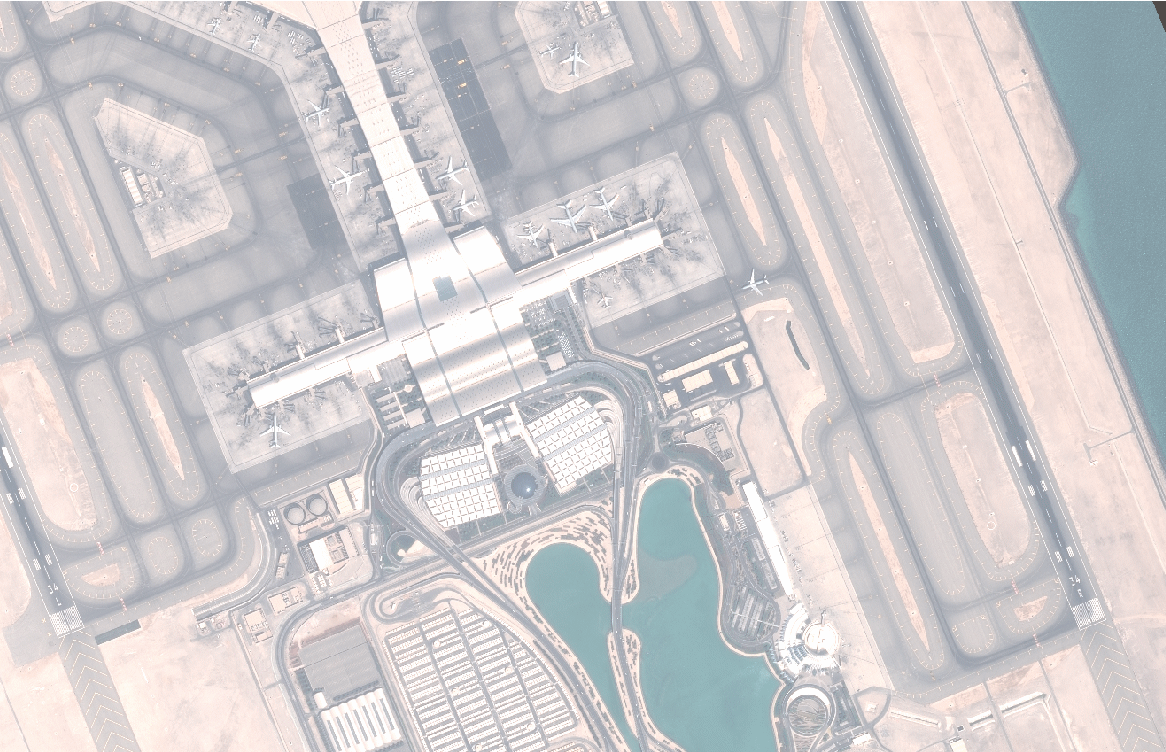
An AMDB is a spatial database of an airport. An AMDB dataset describes the spatial layout of an aerodrome in terms of features (e.g. runways, taxiways, parking stands) with geometry described as points, lines or polygons, and with attributes (e.g. surface type) providing further information. AMDBs are produced and exchanged as datasets using global standards and tools of mainstream Geographic Information System (GIS) technology such as ArcGIS.