
Our mission is to provide geospatial data of the highest quality, for any purpose. This has traditionally been for mapping purposes but nowadays is biased towards aeronautical data.
SLC Associates have now been operating for 35 years. The original partnership was incorporated in January 2001 as Geomatic Solutions Ltd but continues to trade under the more familiar names of SLC Associates or SLC Geomatic Solutions. The corporate logo was redesigned in 2010 and now says ‘SLC Geomatic Solutions’, a trading name that is becoming more familiar.
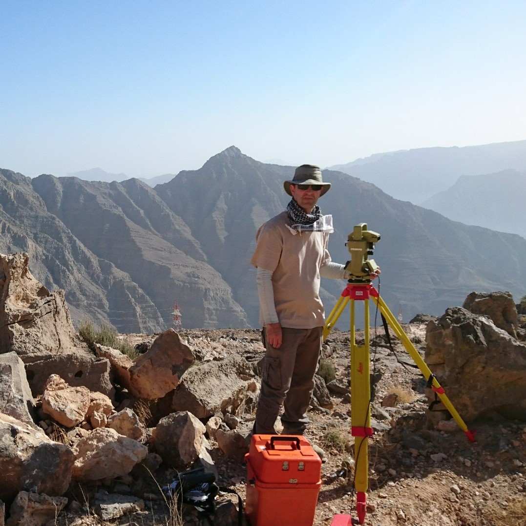
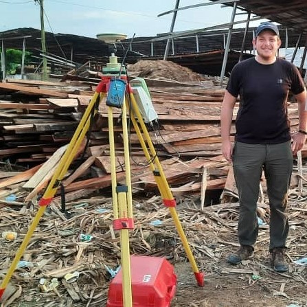
Our specialist aeronautical surveyors have successfully carried out over 260 WGS-84 aerodrome surveys, in 34 different countries around the world. We have also developed the specialist software, Geospatial Data Management System (GDMS), to handle electronic terrain and obstacle data (eTOD) and analyse aerodrome obstructions. GDMS is now available online as well as the desktop version and is in use at over 60 locations worldwide.
Our specialist aeronautical surveyors have successfully carried out over 260 WGS-84 aerodrome surveys and continue to provide aeronautical grade positional data worldwide. Stephen Card
Global Coverage

Our Team
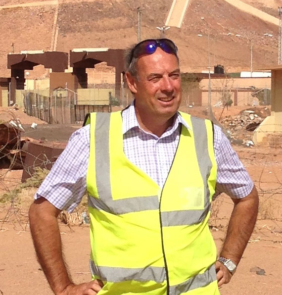
Stephen Card
Director of Operations
Stephen founded SLC Associates in 1987 after 10 years as a Surveyor (Engineering) and Combat Engineer in the Royal Engineers, and a short spell with Wild Heerbrugg (now Leica GeoSystems). Stephen’s experience in working in adverse climates and conditions means that he’s often the first choice to lead the overseas teams. Stephen has also been instrumental in the development of our in-house software systems and now carries out many of the GDMS software training courses all around the world.
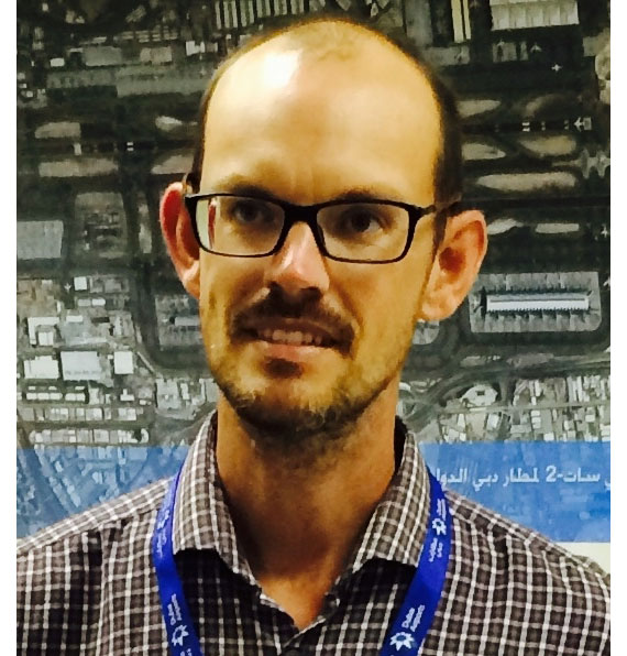
Oliver Bates
Director of Compliance
Oliver joined SLC Associates as a graduate in 2005 and after a few years in the mapping department he moved across to join the aviation team. In addition to overseeing many of the larger aviation projects, Oliver also has the task of keeping the Company’s operating procedures up to date and compliant to UK and international regulations.
-

Christopher Williams
Technical Development Manager
Chris has been responsible for software development and custom applications since 1995. His team wrote the original safeguarding software, AST-Pro, in 2003 and the new GDMS-Desktop™ and GDMS-Enterprise™ in 2009. Chris provides technical support for all our bespoke software systems, as well as being responsible for new applications.
-

Anna Cisowska
Project Manager
Anna has a Masters degree in Geodesy and Cartography, and joined the mapping department in 2008, before moving to the aviation team in 2011. Since then, Anna has worked at airports all over the world, including: Cameroon, the Caribbean, Kuwait, Libya, Oman, Qatar and the UAE, as well as the majority of the UK airports.
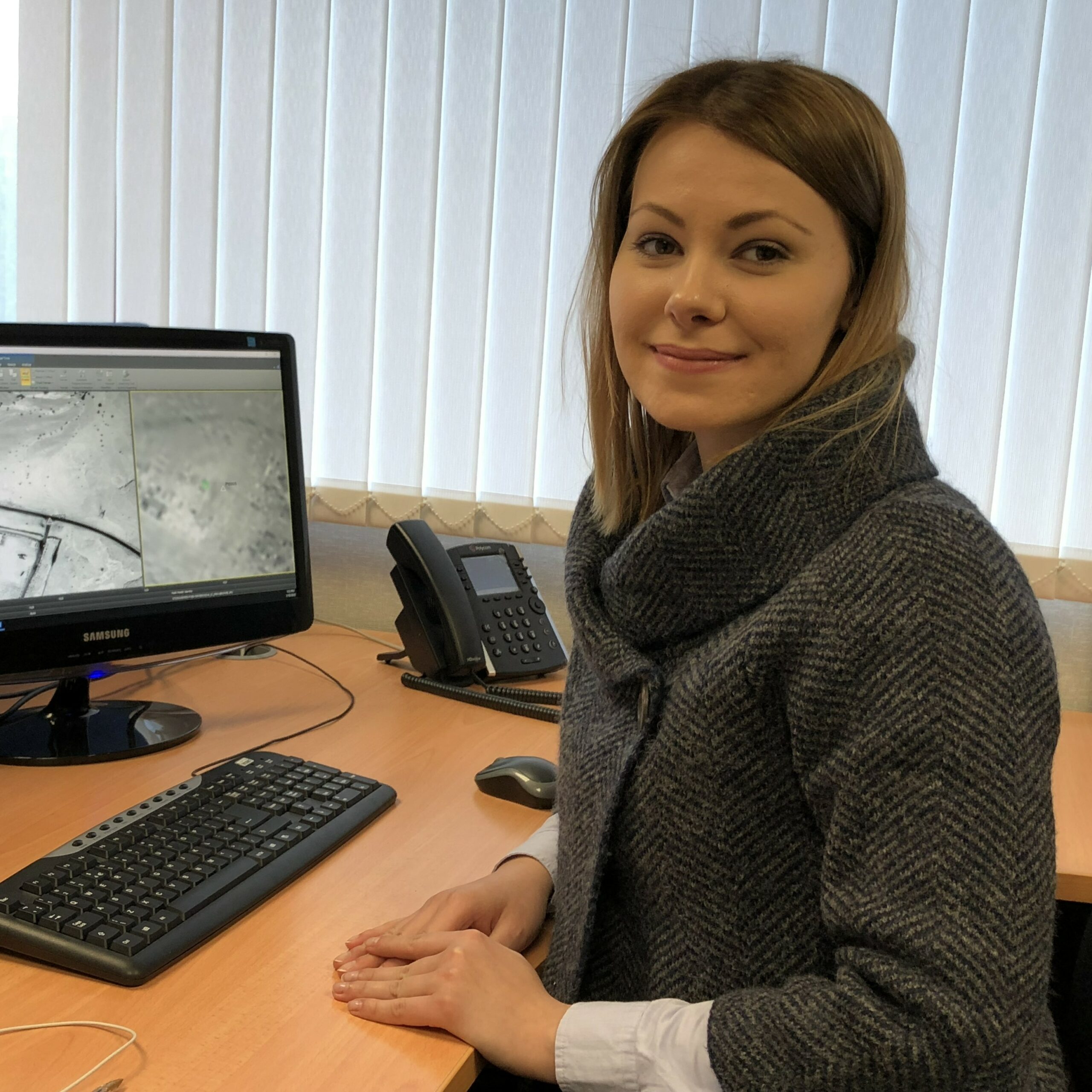
Sabina Plavicheanu
Special Projects Manager
Sabina has a Bachelor’s degree in Geodesy, a Master’s degree in Geodesy and GIS, and a PhD in Aeronautical Geodesy.
In addition to being an active member of the aviation team working on current airport projects, Sabina works closely with our technical partners in the development of specialist projects such as; ‘Methods for airport automatic change detection by Remote Sensing image analysis’ and ‘Airport Mapping Database (AMDB) implementation, a comprehensive database which supports every airport and aeronautical applications’.

Javier Rosell
Aviation Surveyor
Javier has 20 years of experience in the aviation sector in Venezuela, and joined the team in 2018. He has specialised in safety systems pertaining to ICAO Annex 19, and is currently pursuing a Master's degree in Aviation Security in the UK.
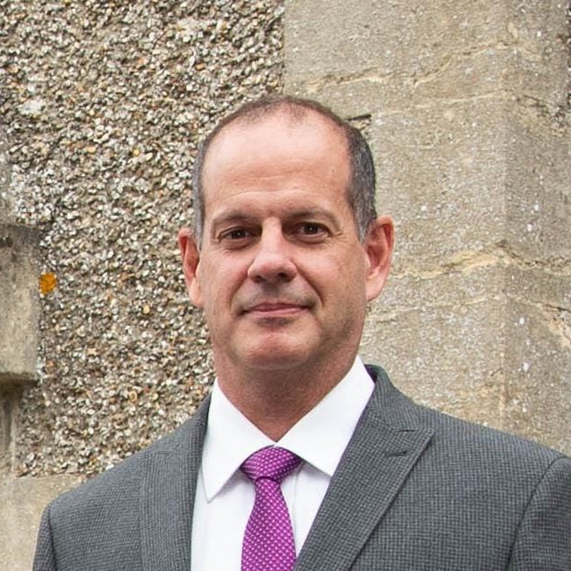
Mark Stuchbury
Project Manager
Mark is our longest serving team member, having joined the mapping department in 1997. Although now a member of the aviation team, Mark continues to be responsible for a lot of the mapping tasks that we are given, the most common of which are the EASA gradient surveys.

Reidy Calatayud
Aviation Surveyor
Reidy has a background in civil engineering and over 15 years experience in civil aeronautics in Venezuela, and joined the team in 2019. She has specialised in aeronautical projects, as well as maintenance and operational safety of aiports.
Jack McKie
Aviation Surveyor
In addition to a BSc degree in Geology, Jack also has an MSc in Surveying Land /Environmental Management, and joined the company in 2020. He has carried out work at airports around the UK, as well as internationally in the UAE, Saudi Arabia, and Cameroon.
Matt Larner
Aviation Surveyor
Matt has a BSc degree in Geology and previously worked in a land surveying role, before joining the company in 2020. He has completed fieldwork at major UK airports such as Heathrow, Gatwick, and Stansted, as well as internationally in the UAE, Cayman Islands, and The Bahamas.
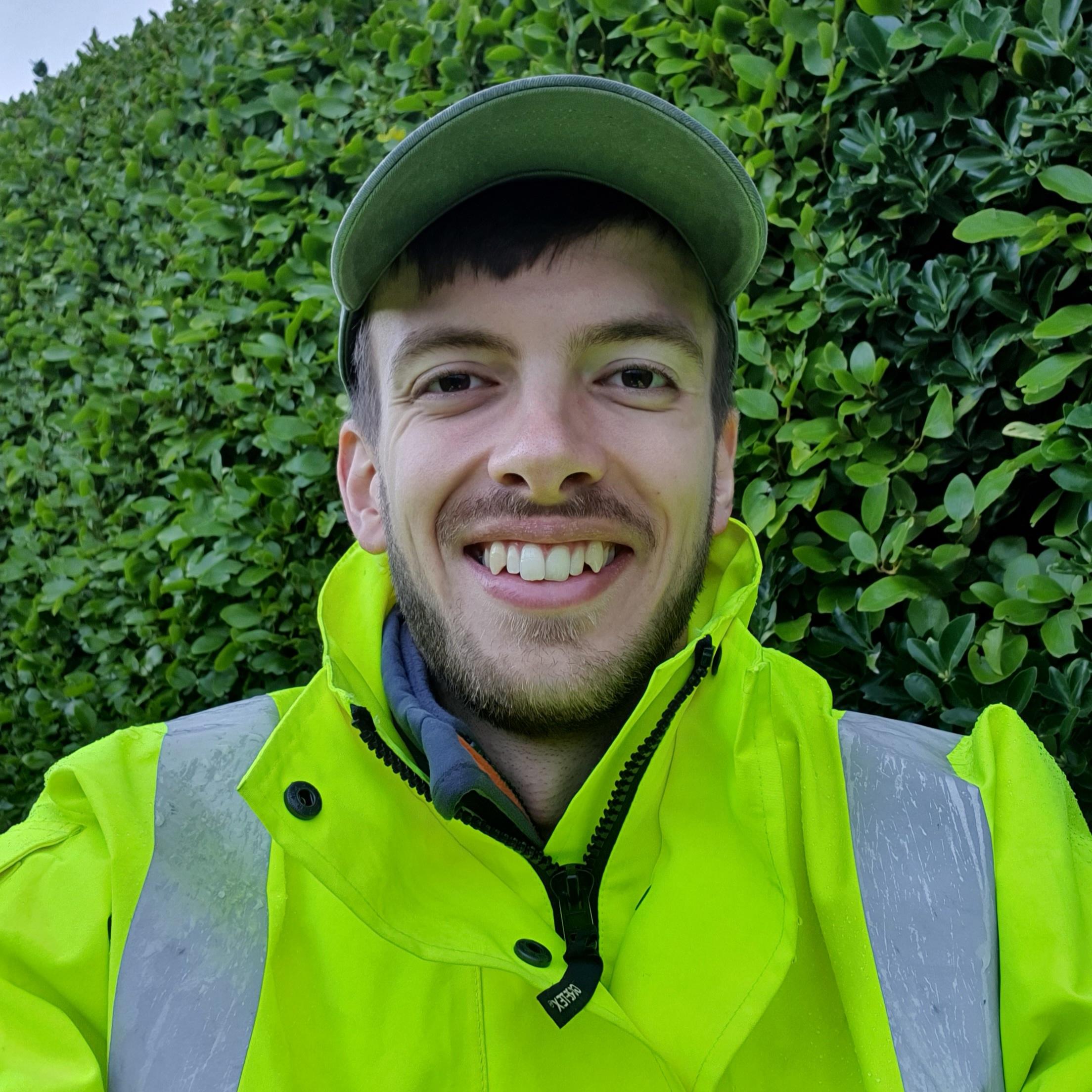
Jacob Drury
Aviation Surveyor
Jacob has a BSc degree in Geology and joined the company in 2022. He has worked at airports across the UK & Ireland, as well as Bermuda and Serbia.